Telavi
Arthur Leist, a wel-know German public figure and a man of letters of the 19th century wrote: "beautiful Kakheti! Hhine green meadows and fields are encircled by woody mountains. The sun and the Moon are thine friends... Those who happened to watch a sunrise in Kakheti, saw a miracle... Those how yearn from miracle should have a look at the Alazani Valley, eastward from Telavi, in a full moon. (Arthour Leist, "Kakheti”, Tbilisi, 1927, p.4).
Telavi is one of the oldest towns of Kakheti. The etymology of the of the word seems to be related with the name of the tree "tela” (elm) common in this area.
The earliest human settlment here is dated to the Late Bronze; its development took place place in the Hellenistic period. Later, in the Late Antiquity the settlement grew into a town which was referred to as "Telada” in Claudius Ptolemy's "Geography” (2nd cent. A.D .).
Interesting information is provided in the records by an Arabian geographer Al Mukadas of the 10th century, who mentioned Telavi along with such important towns of that time as Tbilisi, Shamkhor, Ganja, Shemaha and Sharvan.
Speaking about the population of Telavi, Al Mukamdas pointed out that for the most part is consisted of Christians. Obviously, Telavi was a densely populated town. It seems to be a town as early as in beginning of the early feudal epoch, i.e. before the first Kakhetian King came to live there. According to some historians, in the time of formation of princedom the center of Kakheti was Ujarma. G. Chubinashvili, an outstanding Georgian art critic, named Bochorma as the first centre of the Kakhetian principality, and later is was Telavi. The change was associated with the name of King Kvirike III. In any case, it was in Telavi that King Agsartan (1058-1084 had his residence.
In Georgian manuscripts the first reference of Telavi dates it back to the 9th cent. A.D., when the town was made the centre of the Kakheti-Ereti Principality and one of the most important towns in Georgia with highly developed trade and antisanries. As the Mongolian ivansions began in the late 13th cent., the improtance of the town declined. It became a propertly of a Mongolian official Sadun Mankaberdian. In the 15-16th cent. the town revived, but then its development was hindered by aggressive campaigns of the Iranian Shah Abbas I. Favourable conditions for the flourishing of the town arose in the 60's of the 17th cent. Taking advantage of a short period of peace King Archil II of Kakheti built a places and moved with his court from Gremi to Telavi in 1672.
The reign of King Irakli II was a apecial epoch in the history of Telavi. during this period (1744-1798) it grew into a strategic and cultural centre. The name of Irakli II is associated with actions aimed at national liberation and unification of Georgia. Since his life to the cause of physical survival of the Georgian people.
King Irakli II's reforms touched upon all the aspects of life in the country; they changed fundamentally the political, economical and cultural orientation of Kartli-Kakheti and, subsequently of the whole Georgia. His name became a symbol of freedom and national independence of the Georgian people. They still call him affectionately "Patara Kakhi” (Little Kakhetian). Hist heroic deeds are described in the folk literature.
Numerous monuments of historic and archaeological significance are found in the outskirts of Telavi. Of the archaeological monuments of the 5-6th centuries the ancient church Gvtaeba, a basilica with tree naves, have been preserved. The monuments was restored in the 16th cent. Of the old layer of the building the columns of the main nave and a horseshoe shaped arch have survived. Later , in 1897, frescoes were painted in it by an artist Gegelidze. A triptych painted by Valerian Sidamon-Eristavi has been preserved.
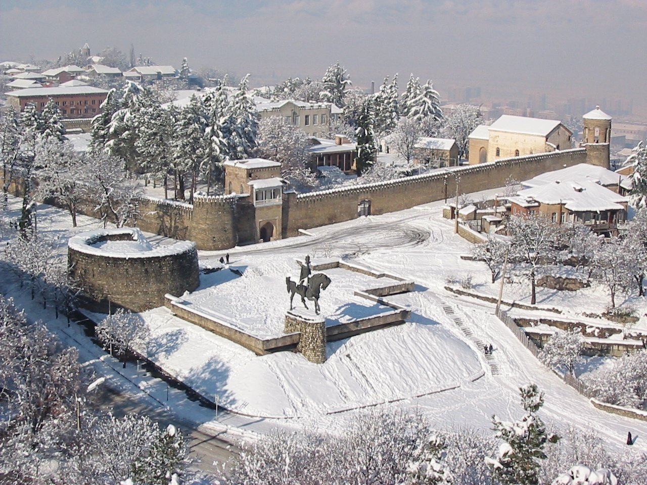
A palace "of the size of a town” built by King Kvirike the great, the first king of the united kingdom of Kakheti-Hereti, is worth special mentioning. Only its fortress walls, the so-called "old wall” on a hight fill between the Dabakhanebi gully and Telavi have come down tu us. The fortress walls guard a small church Goris Jvari. The fortress occupies quite a large area. The walls, are destroyed down to the foundation only in a few paces; their major part has been well preserved. In the cenral part of the town stands "Batonistsikhe”, the residence of Kakhetian Kings of the 17-18th centuries. "Batonistsikhe” is situated on a plateau between the R.Batonistskali and ravines overgrow with walnut trees. The square in front of the south walls used o be a sprts ground in older times. Now it is the central square of the town with a garden named after Irakli II.
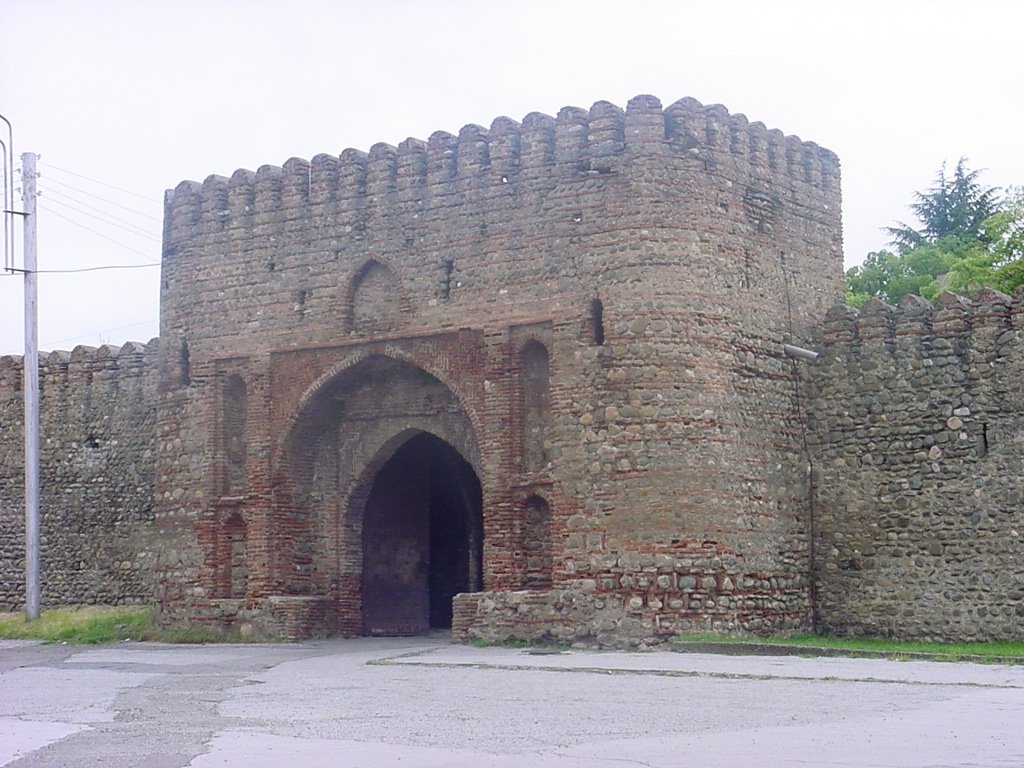
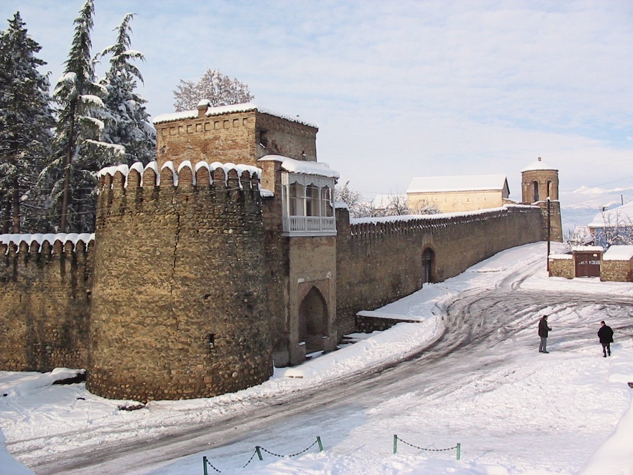
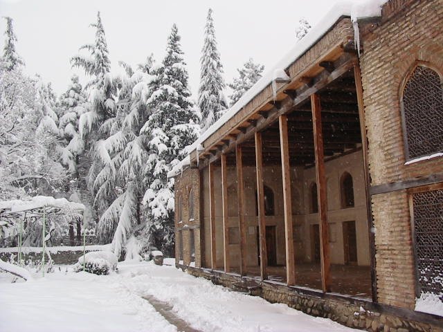
The ancient "Batonistsikhe" complex consists of fortress walls, a place, two gateside churches, a bath and a tunnel. The fortress wall made of stone and topped with indented battlements in 5m high and has two built-in gates – eastern and western. The construction is of a defensive character.
The older of the two churches built inside the walls in Archil Church, a gate side church or rather a chapel. It is badly ruined now. The other church was built by King Irakli II in 1758 in the NE corner of the wall. The church was built of brick and had one nave. "Batonistsikhe” complex, seems to have been built in two stages. The first stage (1667-1675, the reign of king Archil) included the construction of the palace, the first gate side church, the eastern gate and the bath. At the second stage (late 18 thc) the fortress walls and the western gate were arected.
The former palace of the kings of Kakheti is now a Picture Gallery exhibiting by famous Georgian, Rssian, utch, Italian and other painters. It also holds the exhibits of the historical-Ethnographic al Museum. A monument of to King Irakli II (by M.Merabishvili and T. Kandelaki) stands in the east wing of the complex, not far from another curious sight Telavi, an 900-years-old sycamore (40 m high, 11.4 m round the trunk) An inscription Tells us that in the late 30's - early 40's of the 18th century there was a church at the spot


